

Vertica Flight Aerial Photography Solutions
Drones
Our Aerial Equipments
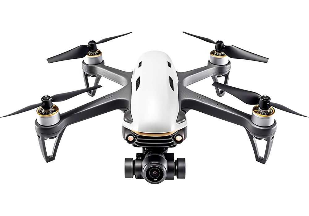
SkyVision X4
Equipped with a 1-inch CMOS camera capturing 5.4K video, 40-minute flight time, and intelligent obstacle sensing designed for professional aerial photography and cinematic footage.
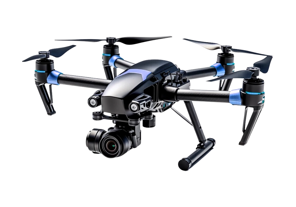
AeroScout V2
Advanced dual-lens drone with 4K HDR recording, precision GPS navigation, 45-minute maximum flight time, and smart tracking ideal for mapping and surveying missions.
FalconEye Pro
High-performance aerial drone featuring stabilized 6K camera, real-time transmission, 38-minute flight endurance, and intelligent flight modes for inspection and monitoring tasks.
Aerial Photo & Video
Mapping & Surveying
Inspections & Monitoring
Real Estate Photography
3D Modeling
Thermal Imaging










|||||||||||||||||||||||||||
|||||||||||||||||||||||||||
Website under construction
Certified Pilots
Please bear with us as we bring our site to life over the next two weeks.
- Local Aviation Licensed
- Data Secure
- Insured Operations
- Safety Certified
- ISO Process
Our Projects
Captivating and Cinematic Drone Projects
0
Areial Cameras
0
Completed Projects
0
Satisfied Customers
0
Years Experience